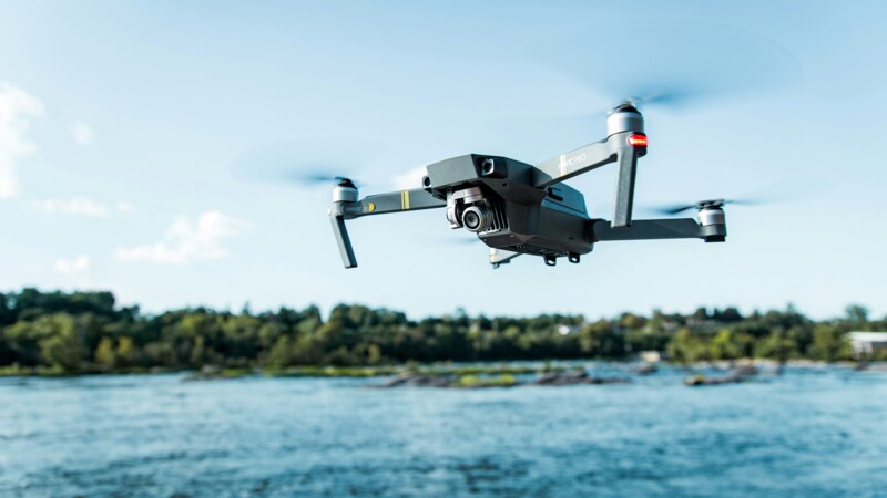
"In certain circumstances, every minute counts,' says Michael Scheib, a police drone pilot. 'The situation can be confusing, especially when we're facing a disastrous scenario." Alerting the emergency services after the fact wastes time, and time is money. As part of the DroneResponseNet project, we aim to get ahead of the situation and provide a risk assessment simultaneously. The Lüneburg Police Directorate in the Hamburg Metropolitan Region, the Würzburg Centre for Telematics, and Frequentis, a Viennese provider of safety-critical information and communication systems, are all involved in the project, focusing on the digitalisation of operational communication. The aim is to direct the right emergency services to the scene as fast and as safely as possible, and to coordinate the work on site.
"'Peter, do you have ground control?' Dr Peter Janotta, a representative of the Centre for Telematics, gives a thumbs up. "Then we're ready to go.' Watch out! Take off!" The drone takes off and picks up speed as it flies autonomously over the Elbe River. During this live demonstration at Droneport Connect 2025 on Friday (July 11, 2025) at the HPA site on Kleiner Grasbrook, the drone's ground control is only used for emergencies. When an emergency call reaches the rescue control centre, the caller is located and the drone is deployed based on the relevant geodata to assess the situation. The faster this is done, and the more details obtained, the more lives can be saved in an emergency.
Co-ordinating all emergency services
Drones in forensics
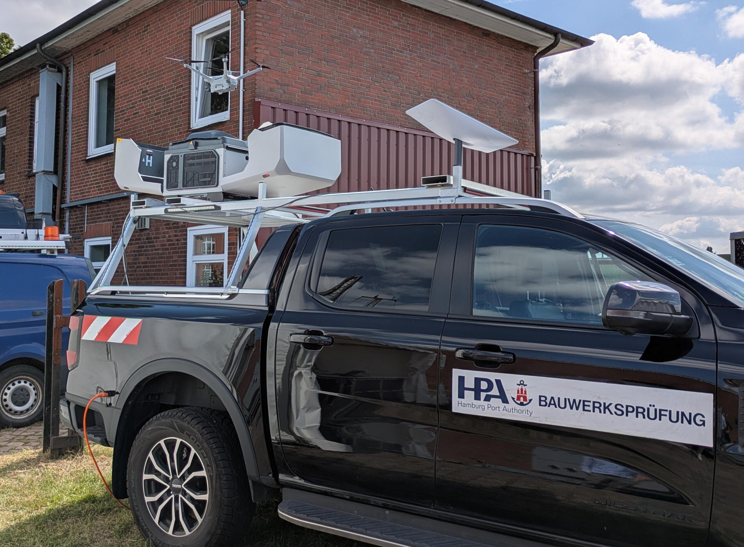
Drones can also be extremely helpful after an operation. As soon as the police have finished their work, for instance, at the scene of a road accident with casualties, forensic investigations must be carried out. The State Criminal Police Office Hamburg (LKA) has used drones for crime scene documentation, 3D visualisation, and securing evidence since 2019. "The aim is to create real-time, true-to-scale drawings of the crime scene and accident to help reconstruct events, and these are particularly useful in court," said a Hamburg-based forensic scientist.
Traffic monitoring and construction site documentation
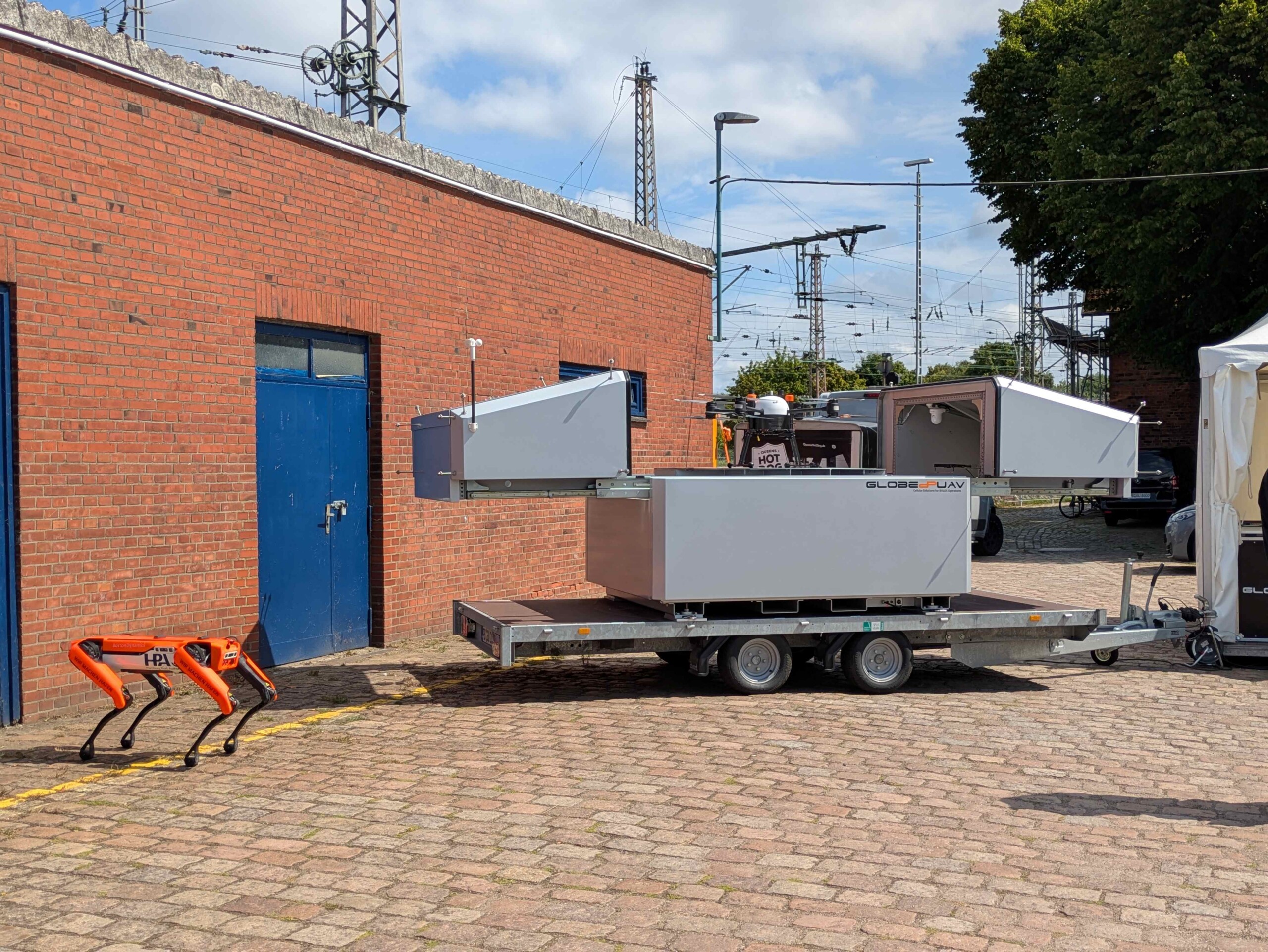
Not all deployment scenarios at Droneport Connect 2025 involved life-or-death situations. The State Roads, Bridges and Waterways Authority (LSBG), for instance, uses drones to protect urban infrastructure. "We document construction sites, observe traffic and examine the condition of e.g., bridges," says Jannis von Lüde, the Unmanned Traffic Management Project Manager. Eight LSBG drones provide high-resolution, positionally accurate data, analysed using artificial intelligence.
Regulation creates business segment
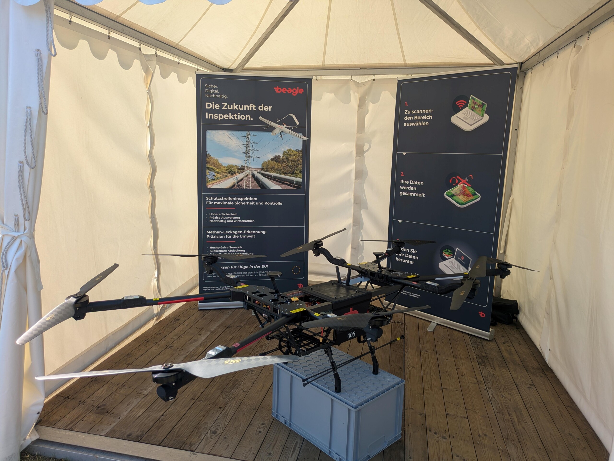
Mitja Wittersheim, joint founder of the Hamburg-based Beagle Systems, demonstrates a live flight of one of the company's eleven autonomous long-range drones on Droneport's large video screen. The multicopter is searching for methane leaks. "We use a laser-based instrument to do this," says Wittersheim. Beagle Systems owes this business segment to the EU Methane Regulation, which has stipulated regular and thorough inspection of pipelines since 2024. In this case, regulation means money, despite the fact that stringent EU and national regulations are otherwise a headache for the industry.
Keeping an eye on airspace
The skies are now dotted with drones, whether for private purposes, inspections, or official (emergency) missions. However, this increased air traffic poses an ever-growing risk of collisions. "We need an overview of the aerial situation," said Captain Gernot Schlosser from the German Armed Forces. A platform for creating drone flight plans has been set up in Manching, Bavaria. Drone pilots can register on the platform and log their flight times and altitudes in a simple and practical manner. This approach is to be further developed with HPA and the senate in Hamburg. An app will incorporate "dynamic data" and weather information. "Registering a flight over a fallow field sounds unproblematic; there is no danger to people there. The situation is entirely different when a farmer rents out his field and a rock concert suddenly takes place there." Safety is the top priority for every drone flight.
ys/pb
Sources and further information
Droneport
The opening of the Droneport by the Hamburg Port Authority (HPA), the Hamburg Police and Hamburg Aviation in July 2024 proved a milestone for the technology. The control centre in the Port of Hamburg is Europe's first ground infrastructure for unmanned aviation and mobile sensor technology. In January 2025, a successful maiden drone flight from Hamburg to Neuwerk marked the first cross-border flight over three federal states. A year later, the Droneport stakeholders now hope the Droneport Connect 2025 networking event will do great things for the industry.
More
Similar articles
Study on acceptance of drones

Drones hold huge potential for Hamburg
First long-range drone flies over German Bight