Billbrook/Rothenburgsort industrial area
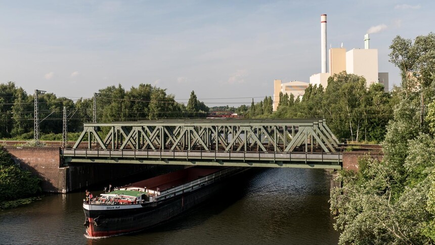
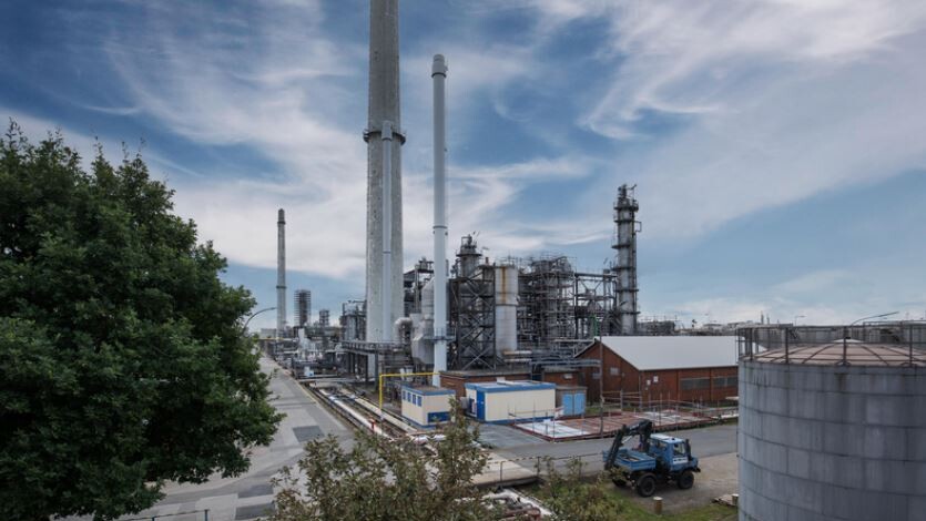
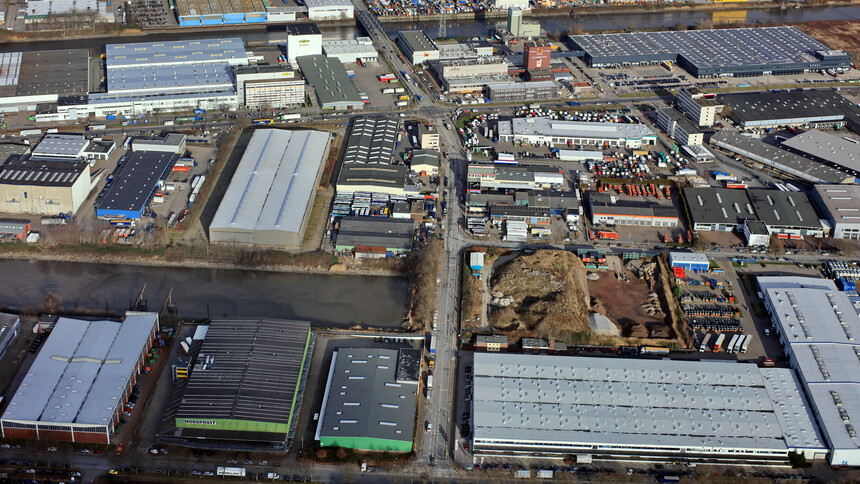
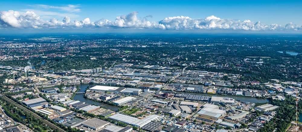
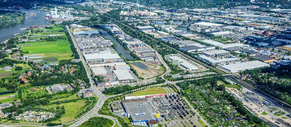
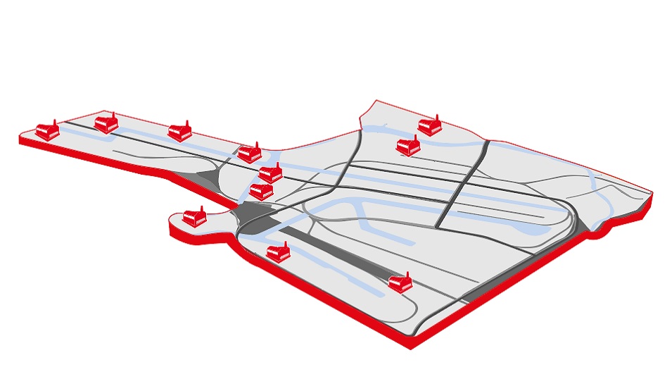
Billbrook/Rothenburgsort is Northern Germany’s largest contiguous industrial area beyond the port of Hamburg. Here, small and medium-sized enterprises as well as world market leaders have been driving industry for more than 100 years. Some 1,000 companies with a total workforce of over 26,000 are based at this industry location.
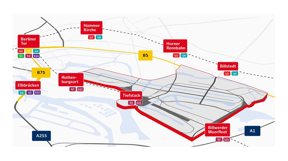
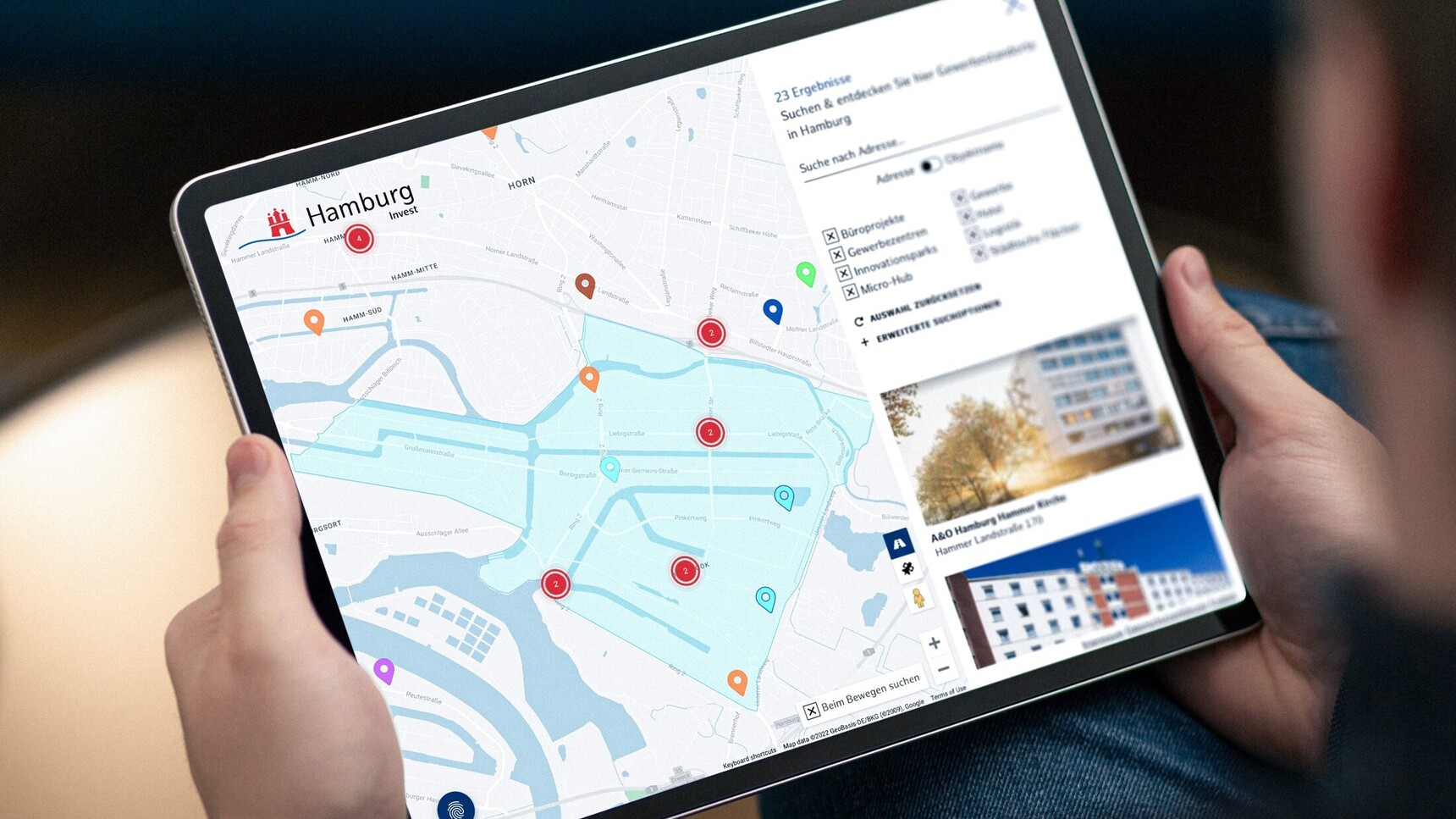
Here you can view an interactive map of selected industrial locations in Hamburg.
Key figures
Total size of the location: 770 ha
Companies located here: 1,115
Gainfully employed individuals: 24,431
Total revenue of all companies: € 8,570,636,000
Locational benefits of Billbrook/Rothenburgsort
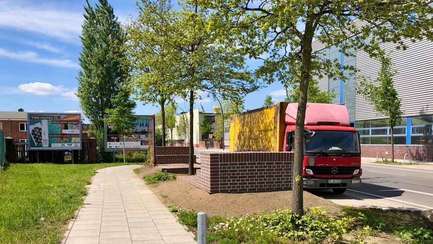
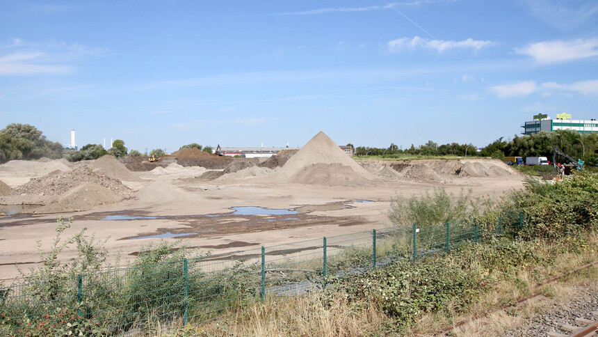
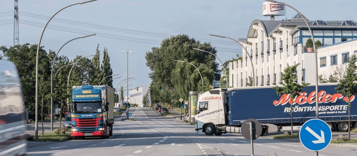
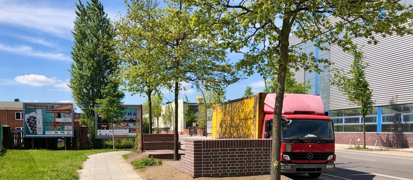
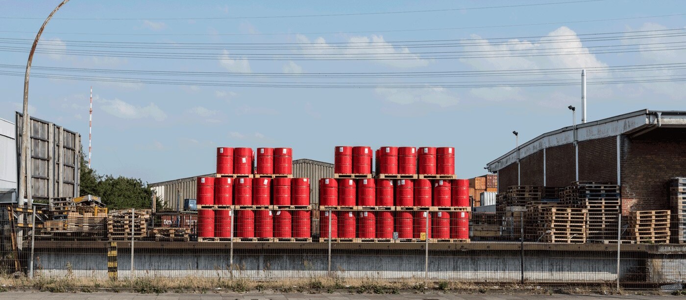
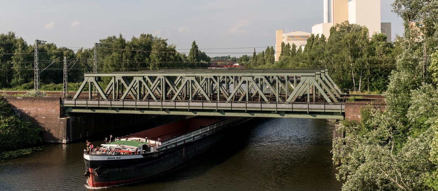
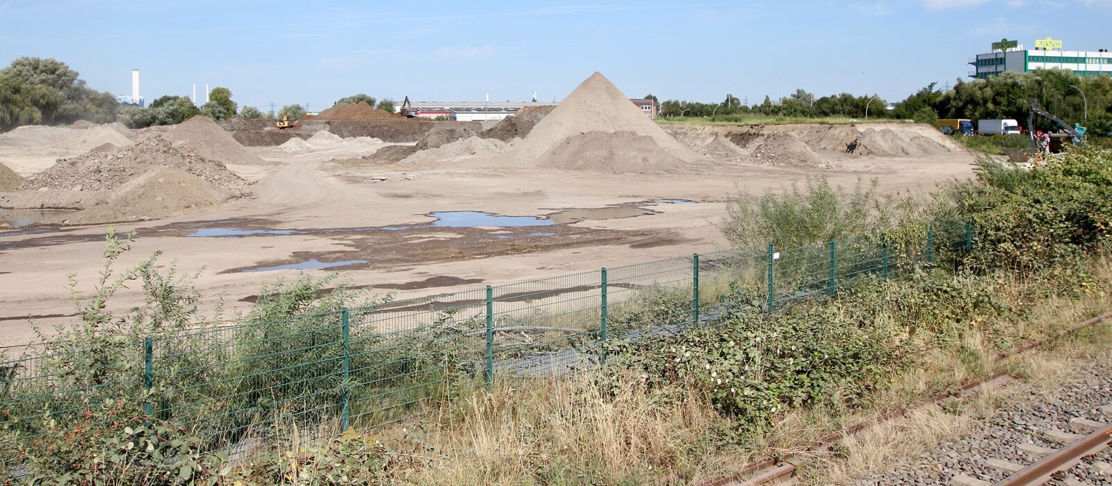
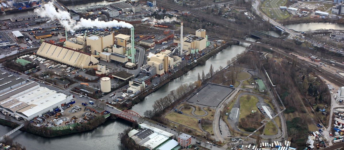
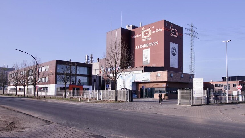
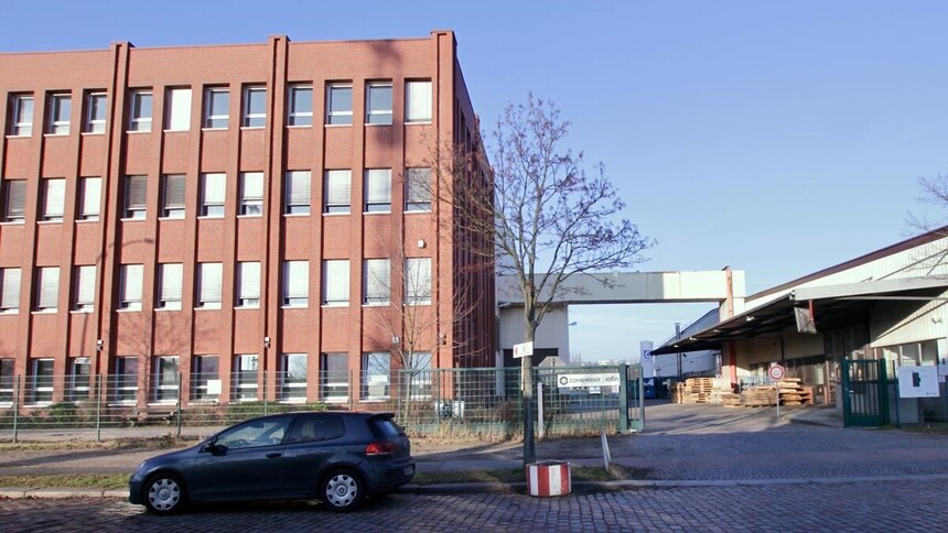
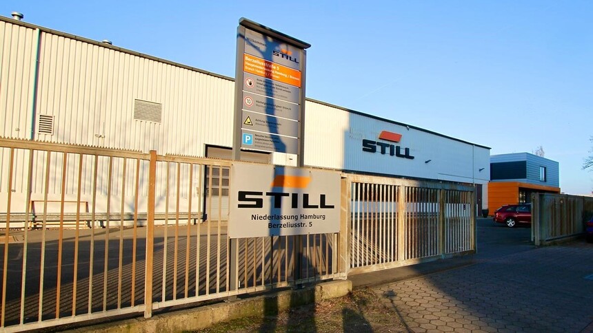
Impressions from Billbrook/Rothenburgsort
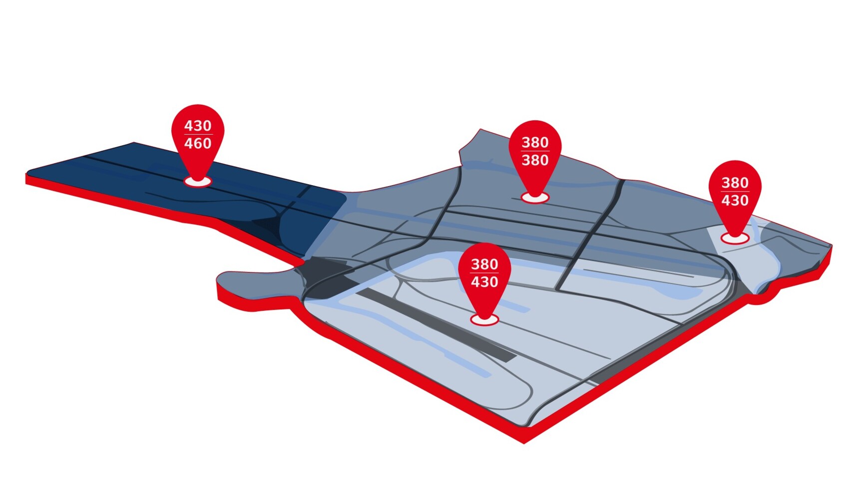
Thematic maps of Billbrook/Rothenburgsort
Billbrook/Rothenburgsort: selected company profiles
Disclaimer
Note on area sizes: The industrial and commercial area referred to in the key figures indicates the gross area according to the maps displayed. These include different proportions of water areas, transport areas and green areas. Therefore, it is not possible to make a direct comparison between the individual locations presented on these pages, e.g. in terms of workforce per hectare.
Note on employment figures: Information on the local workforce is mostly provided by the German Federal Employment Agency. In some cases, figures are not broken down by individual company branches and locations, i.e. aggregate employment figures are provided instead. In such cases, the statistical business register does not include more detailed figures. Moreover, please note potential limitations of data collection e.g. in terms of minimum thresholds. As a result, the figures provided should be regarded as approximate figures that are intended to provide general guidance only.
Note on revenue figures: These figures are based on the tax returns of the companies as of 31 December 2022. In some cases, figures are not reported for each individual branch, but only for the relevant group of companies. These values are subsequently broken down on a case-by-case basis. Moreover, tax reports may be updated following a longer period of time. Therefore, the figures provided are intended to provide general guidance only.
Note on standard land values: The map provides information on standard land values for use in production/logistics. The relevant values were converted (i.e. standardised) to a plot size of 1,000 square metres or a value-related floor-area ratio of 1.0, respectively. Both the lowest and the highest standard land value in the building block are provided. The map aims to serve as a reference and is not suited for determining the actual value. At BORIS.HH you can view an interactive standard land value map of Hamburg. The website offers detailed information on standard land values in Hamburg and lets you convert the standard land value to account for individual property characteristics. All values displayed refer to the reference date of 1 January 2025.
Note on hazardous operations: Locations of establishments pursuant to §3 para. 5a of the German Federal Immission Control Act (BimSchG) in the jurisdiction of the Free and Hanseatic City of Hamburg. Further metadata / publication / created on 30 September 2014.
Sources: Standard land values: Geoportal Hamburg / hazardous operations: Geoportal Hamburg / key figures: business register of the Northern Germany Statistical Office / definition of “undertaking”.
